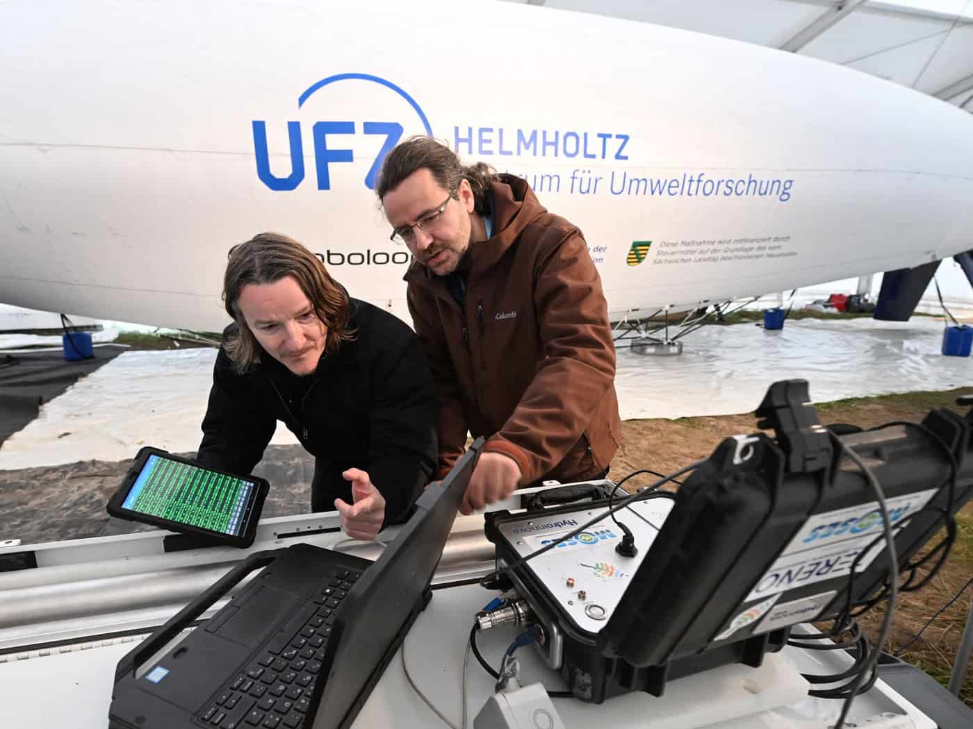
Researchers from Leipzig are using an innovative method involving an airship to measure soil moisture levels. The unmanned, helium-filled aircraft is equipped with a neutron detector and can thus measure soil moisture down to a depth of 30 centimeters, said scientist Daniel Altdorff of the Helmholtz Center for Environmental Research (UFZ). It is currently being deployed over spoil heaps at the Vereinigtes Schleenhain open-pit mine south of Leipzig. Soil moisture data is crucial for assessing droughts or flood risks. Farmers and forestry operations also have an interest in reliable data. The new application closes a gap in soil moisture measurement, said Altdorff. Until now, assessments of larger areas have relied either on hydrological modeling or on satellite data. However, models only simulate soil moisture, and satellite measurements only reach the top few centimeters of the soil and are also affected by clouds and vegetation, Altdorff explained. With the airborne neutron detector, however, larger areas and deeper layers can be surveyed. “This is the first time we’ve been able to reach hard-to-access soil areas and take measurements there,” said Altdorff. From the air, mountainous regions can be surveyed, as can hard-to-access open-pit mining sites or heavily forested areas. The measurements at the open-pit mine are to be followed in 2027 by additional flights over other areas. To this end, the UFZ is collaborating with, among others, the energy company Mibrag, the mining remediation agency LMBV, and the state-owned enterprise Sachsenforst. The airship method is to be further developed in the process. Another goal is to incorporate the neutron measurements into models developed by the German Weather Service. Copyright 2026, dpa (www.dpa.de). All rights reservedData for Agriculture and Forestry
Hard-to-reach soil areas are being surveyed
Various measurement flights planned for next year